Discover the best apps for navigating the Yorkshire Dales, with maps, weather and safety tools to help you explore with confidence.

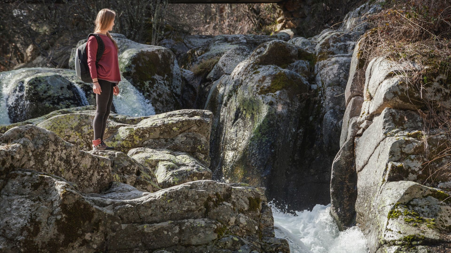
Exploring the Yorkshire Dales is one of the best ways to experience North Yorkshire at its most open and unspoilt.
But with wide landscapes, winding routes and areas where signal can drop without warning, it really does help to be prepared. The good news is that there are a variety of convenient and easy-to-use apps that can make navigating the Dales much simpler.
Here are some of the best apps to install on your phone before you set off. Whether you're planning a gentle walk or a full day out, you can explore with confidence with these in your pocket.
OS Maps: the gold standard for walking routes
If you download just one app before heading into the Dales, make it OS Maps.
This is the digital version of Ordnance Survey maps – the same detailed maps used by walkers across the UK. You'll find footpaths, bridleways, contour lines and landmarks all clearly marked, making it much easier to understand the landscape around you.
One of its most useful features is the ability to download maps for offline use. This means you can still navigate even when you lose signal, which is always worth being prepared for. It happens even more often than you might expect in rural areas.
This app is a reliable, easy-to-use tool that works just as well for beginners as it does for experienced walkers.
Google Maps: simple, familiar and useful offline
While not specifically designed for hiking and walking trails, Google Maps remains a helpful tool to have at your disposal.
It's especially useful for planning your route to and from the Dales, whether you're driving or using public transport. It can also help you find nearby parking, cafés and other facilities, and allows you to check travel times as well as road and traffic conditions.
Like OS Maps, you can download areas for offline use. This is definitely worth doing in advance, in case of patchy mobile signal while you're out in the countryside.
It won't show every footpath and probably won't know your trail routes, but it's a good all-round backup for general road navigation.

Komoot: easy route planning and turn-by-turn guidance
Komoot is a popular choice for walkers, cyclists, hikers and anyone else who likes to add a bit more structure and adventure to their route.
The app is specially designed to look for scenic routes. You can use it to discover established trails in the Yorkshire Dales or plan your own walks based on distance and difficulty. And along the way, you'll enjoy turn-by-turn navigation to keep you on track.
It's particularly useful if you're not used to reading traditional maps, as it breaks routes down into clear, manageable steps.
Offline maps are also available, which makes it a practical option for longer days out.
AllTrails: great for inspiration and real user reviews
If you're looking for ideas rather than planning from scratch, AllTrails is a great place to start.
Designed for outdoor enthusiasts, the GPS-navigated app features a wide range of walking routes. These come complete with crowd-sourced difficulty ratings, estimated timings, photographs and recent reviews and updates.
This can be especially helpful in the Dales, where conditions can change depending on the weather. Seeing recent feedback from other walkers can also give you a better sense of what to expect.
It's a good way to find routes that suit your ability level without overcomplicating things.
Met Office Weather: reliable local forecasts
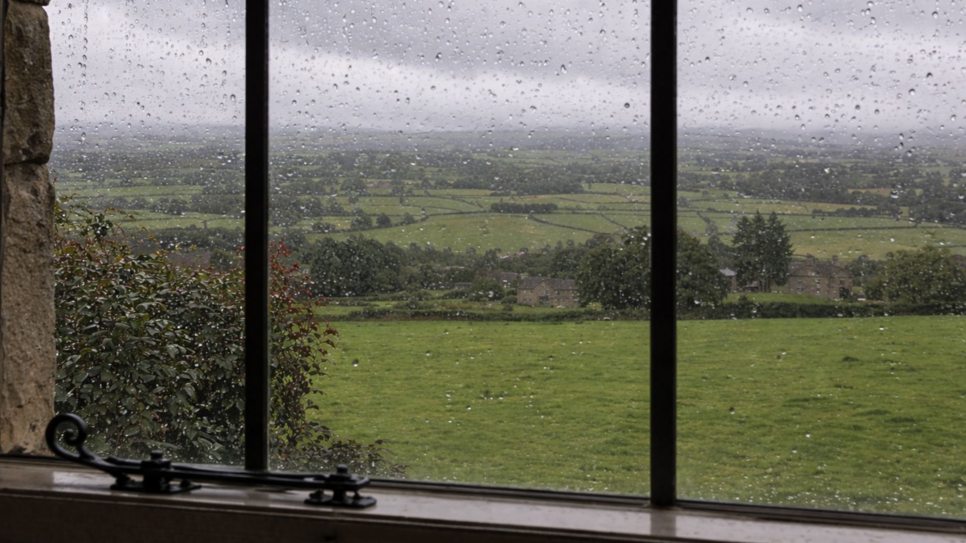
The weather in the Yorkshire Dales can change quickly, particularly in spring and early autumn.
The Met Office app is one of the most reliable and trusted ways to stay up-to-date with local conditions. You can check hour-by-hour forecasts, rainfall predictions, wind speeds and weather warnings.
Checking the forecast before you set off – and again during the day if needed – can help you make better decisions about your plans.
Even a quick glance can make the difference between a comfortable walk and a soggy one.
what3words: a simple but powerful safety tool
what3words is one of the most useful apps you can carry, especially in more remote areas.

It divides the world into three-metre squares, each with a unique three-word address. This makes it much easier to share your exact location – especially in the event that you need to call for help.
For example, if you're unsure where you are and need assistance, you can give emergency services a precise reference point instead of trying to describe your surroundings.
It's quick to use, works offline once loaded and can be vitally important in an emergency.
A few simple safety tips before you go
All these apps can make exploring the Yorkshire Dales easier, but they work best alongside a bit of sensible preparation.
Before heading out, it's worth taking the time to do the following:
- Download maps in advance in case signal drops.
- Charge your phone fully, and bring a power bank if you have one.
- Let someone know your plans, especially for longer walks.
- Wear suitable footwear, as paths can become slippery in wet weather.
It's also a good idea to stay aware of your surroundings rather than relying entirely on your phone. Technology is helpful, but it shouldn't replace your own awareness and common sense.
Starting your day at Stump Cross Caverns
The Yorkshire Dales is a place that rewards a curious spirit.
With the right apps on your phone, you can explore a little further, take new routes and feel more confident doing it. Whether you're sticking to well-known paths or heading somewhere quieter, having that extra support makes a real difference.
And if you're looking for an easy starting point, Stump Cross Caverns offers a great base for your adventure.
You can start by exploring our ancient
underground caves. Then, you can use your chosen apps to plan your next steps, whether that's a short walk nearby or a longer route through the Dales. It's a simple way to combine a unique indoor experience with time outdoors, whatever the weather.
Are you planning an adventure in the Dales? Some of the best days out start underground. Plan your trip to Stump Cross today or secure your spot by booking your tickets online.